3D Laser Scanning & As-Built Services in Baton Rouge, LA
In brownfield plant retrofits, facility expansions, and commercial modifications, relying on outdated paper drawings or manual field measurements is a major project risk. A single missed field dimension or unrecorded pipe obstruction can cause costly clashes during fabrication, delay installation schedules, and explode turnaround budgets.
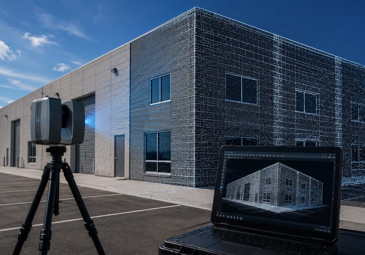
At PSDesign, we deliver high-definition 3D laser scanning, point cloud generation, and scan-to-model/BIM services that capture real-world facility conditions with millimeter-level precision. Based in Baton Rouge and serving industrial plants, commercial sites, and engineering teams across the Gulf South, our scanning technicians and modelers bring over a decade of hands-on as-built experience to every site capture.
One accurate laser scan site visit provides your entire project team—engineers, drafters, fabricators, and project managers—with a complete digital twin of your facility. By modeling directly within the point cloud, we detect spatial clashes early, streamline design coordination, and ensure new steel and piping fit perfectly the first time.
Why 3D Laser Scanning is Essential for Gulf Coast Industrial Sites
Capturing existing site conditions along the Mississippi River industrial corridor and across South Louisiana presents complex physical constraints that traditional measuring tapes and total stations cannot solve:

Dense Brownfield Environments
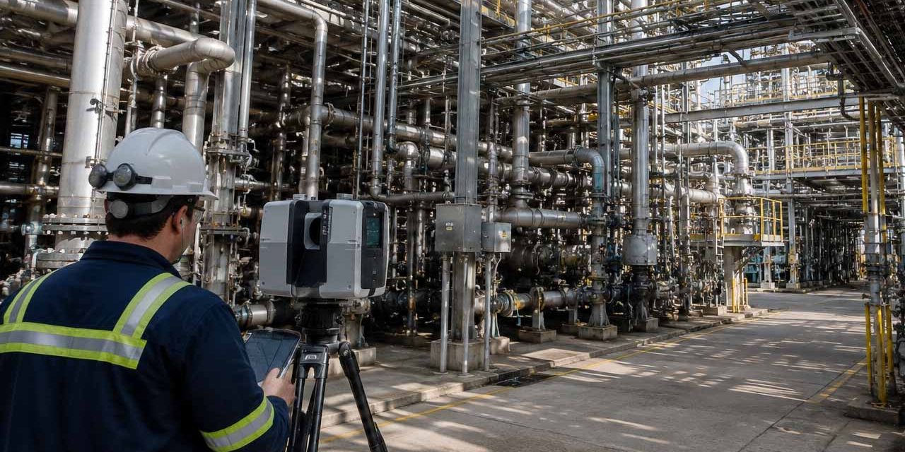
Live chemical plants, refineries, and paper mills feature dense webs of pipe racks, structural steel, cable trays, and equipment. High-speed laser scanning captures millions of spatial data points without requiring elevated work platforms or blind measurements.
Outdated or Missing As-Built Records
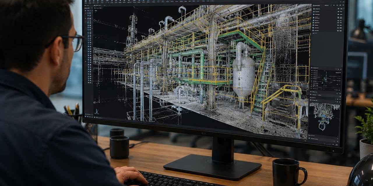
Facilities constructed decades ago rarely have up-to-date drawings reflecting years of minor modifications. 3D laser scanning establishes an indisputable baseline digital record of current field reality.
Minimized Exposure & Safety Risks
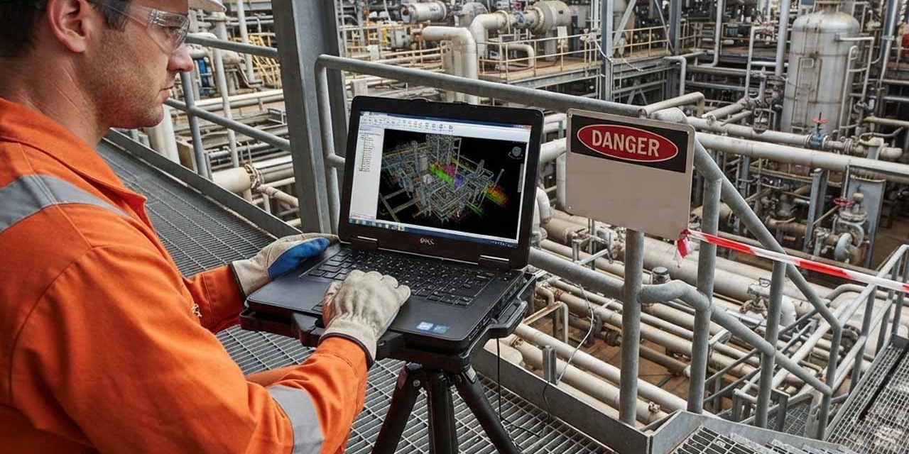
Scanners capture complex, hard-to-reach, or hazardous areas remotely from ground level or safe walkways, drastically reducing the need for personnel to climb scaffolding, enter restricted zones, or tie up plant safety resources.
Zero Margin for Error During Shutdowns
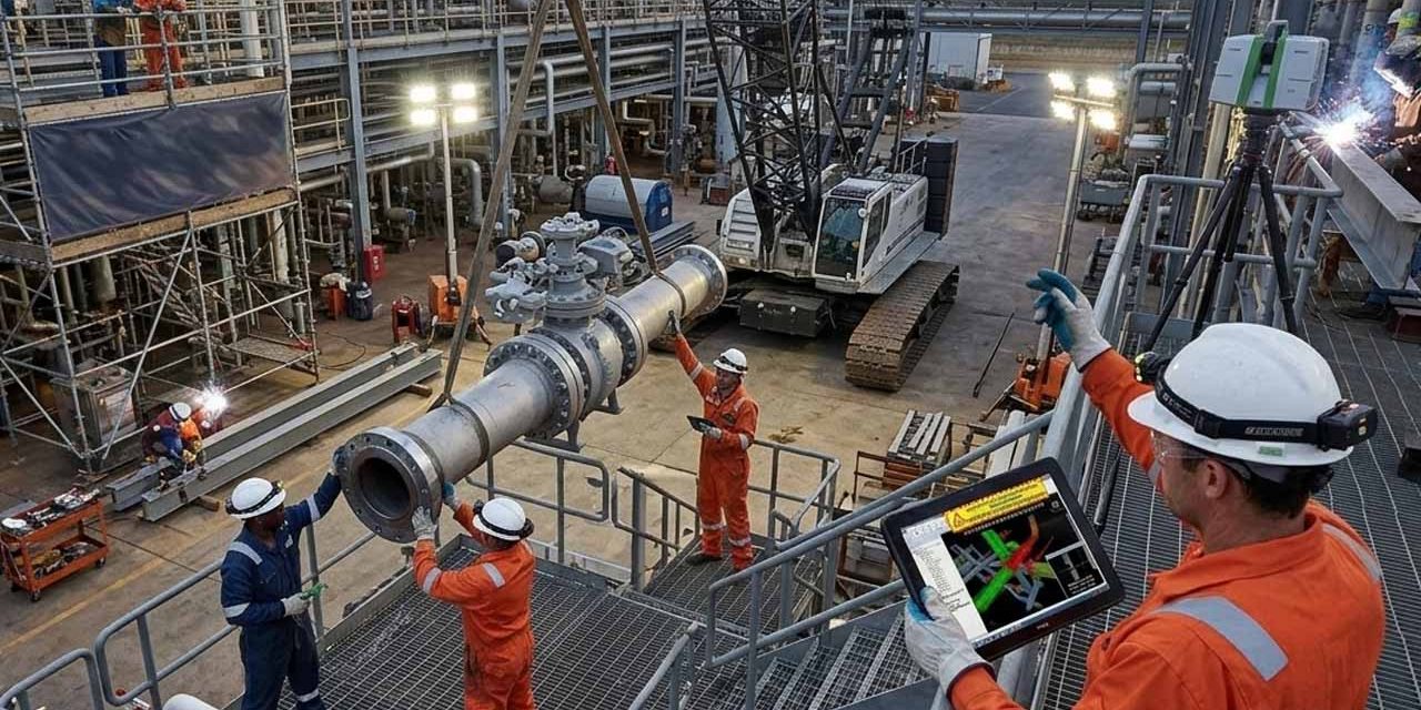
Plant turnarounds require exact fit-up during tight outage windows. Pre-capturing exact pipe flanges, beam connections, and spatial clearances guarantees that pre-fabricated spools and structural steel bolt right into place.
Core 3D Laser Scanning & Spatial Modeling Capabilities

High-Definition Field Scanning & Spatial Capture
Deploying advanced terrestrial laser scanners to capture sub-millimeter geometry across complex industrial structures, civil foundations, piping systems, and commercial building envelopes
Point Cloud Processing & Registration
Processing raw scan data into clean, geo-referenced point cloud files (e.g., .E57, .RCP, .PTS, .POD) that can be seamlessly loaded into standard CAD, Revit, Tekla, CADWorx, and BIM software platforms.
Scan-to-CAD & Scan-to-BIM Modeling
Converting raw point cloud data into usable 2D CAD drawings, 3D parametric models, structural steel models, and intelligent BIM digital twins tailored to your engineering workflow.
Automated Clash Detection & Clearance Checking
Overlaying proposed structural steel, piping layouts, or new equipment models onto the registered point cloud to identify and resolve spatial conflicts before fabrication or construction begins.
As-Built Documentation & Digital Twins
Updating existing facility drawing packages to reflect real-world field conditions, creating an accurate spatial database for long-term plant maintenance, reliability tracking, and future engineering scopes.
Need Accurate Field Data?
Talk with our team about your facility, project scope, and scanning requirements. We'll help determine the best approach for capturing accurate field data.
Integrated Engineering Capabilities Matrix
| Discipline / Role | Primary 3D Scanning Benefit | Practical Deliverables |
|---|---|---|
| Plant Reliability & Maintenance | Complete visual spatial context without repeat field walkdowns | Point clouds, digital twins, updated as-builts |
| Structural & Piping Engineers | Design around real obstructions with millimeter accuracy | 3D CAD/BIM models, clash detection reports |
| Steel & Pipe Fabricators | Verify bolt-hole alignment & spool tie-ins prior to shipping | Precise connection spatial data, clearance maps |
| Construction Managers | Reduced RFIs, zero field re-welding, on-time outage execution | Erection models integrated with scan data |
Our Detailed Scanning & Modeling Process
Scope Definition & Site Planning
We review project boundaries, accuracy requirements, and site safety protocols to select optimal scanner placement locations and target setups.
On-Site Field Capture
Our DISA-, OSHA-, and TWIC-certified technicians perform rapid terrestrial scanning across your facility with zero interruption to active operations.
Data Registration & Point Cloud Processing
Raw field scans are registered, filtered, cleaned, and stitched together into a single, high-accuracy spatial point cloud model.
Modeling & Clash Evaluation
Modeling teams convert the point cloud into intelligent 3D structural, civil, or piping objects while running clash detection checks against proposed designs.
Final Deliverable Package Export
You receive fully formatted point clouds, 3D CAD/BIM models, clash report logs, and updated as-built drawings ready for immediate project use.
Why Choose PSDesign for 3D Laser Scanning?
Over 10 Years of Dedicated Scanning Experience
We are not just scanner operators; we are field-experienced engineers, modelers, and detailers who understand how as-built data is actually used in construction.
Rapid Local Mobilization
Headquartered in Baton Rouge, our scanning crews can be on-site along the Mississippi River industrial corridor within 24–48 hours for urgent project needs or shutdown emergencies.
Integrated Engineering & Detailing Workflow
Because PSDesign offers civil/structural engineering, pipe design, connection design, and steel detailing in-house, our scanning teams know exactly what data design teams need.
Full Industrial Safety Credentials
Complete compliance with DISA, OSHA, MSHA, and TWIC requirements for immediate access to secure chemical plants, refineries, and manufacturing facilities.
Service Area & Field Deployment

South Louisiana & Gulf Coast Region
Rapid on-site deployment for 3D laser scanning across Baton Rouge, Geismar, Plaquemine, Port Allen, Gonzales, New Orleans, Lake Charles, and Lafayette.

Regional & Nationwide Deployment
Mobile scanning teams available for major industrial projects, brownfield facilities, and commercial sites across the Gulf South and nationwide.
Eliminate Field Surprises with PSDesign 3D Laser Scanning
Contact our engineering team today to schedule an on-site walk-down, request a 3D laser-scanning consultation, or submit project drawings for a detailed scope review.
Monday – Friday, 8:00 AM – 5:00 PM
(Flexible for urgent plant shutdown support)